AERIAL PHOTOGRAPHY
Geosystems, geospatial measurement technologies are used in planning, construction and maintenance of infrastructure.
DIGITAL TERRAIN MODELLING
Our qualified technicians take your site plan and convert the data a 3-D digital terrain model to work with GPS machine control equipment. We can utilize your existing data or help you create new plans.

HIDROGRAPHIC MAPPING
Type of topographic map, which is used to reveal the slopes and contours of land. Hydrographic maps are specially made to survey underwater land terrain. Such maps can be used to help in investigations, oceanography studies and naval services.

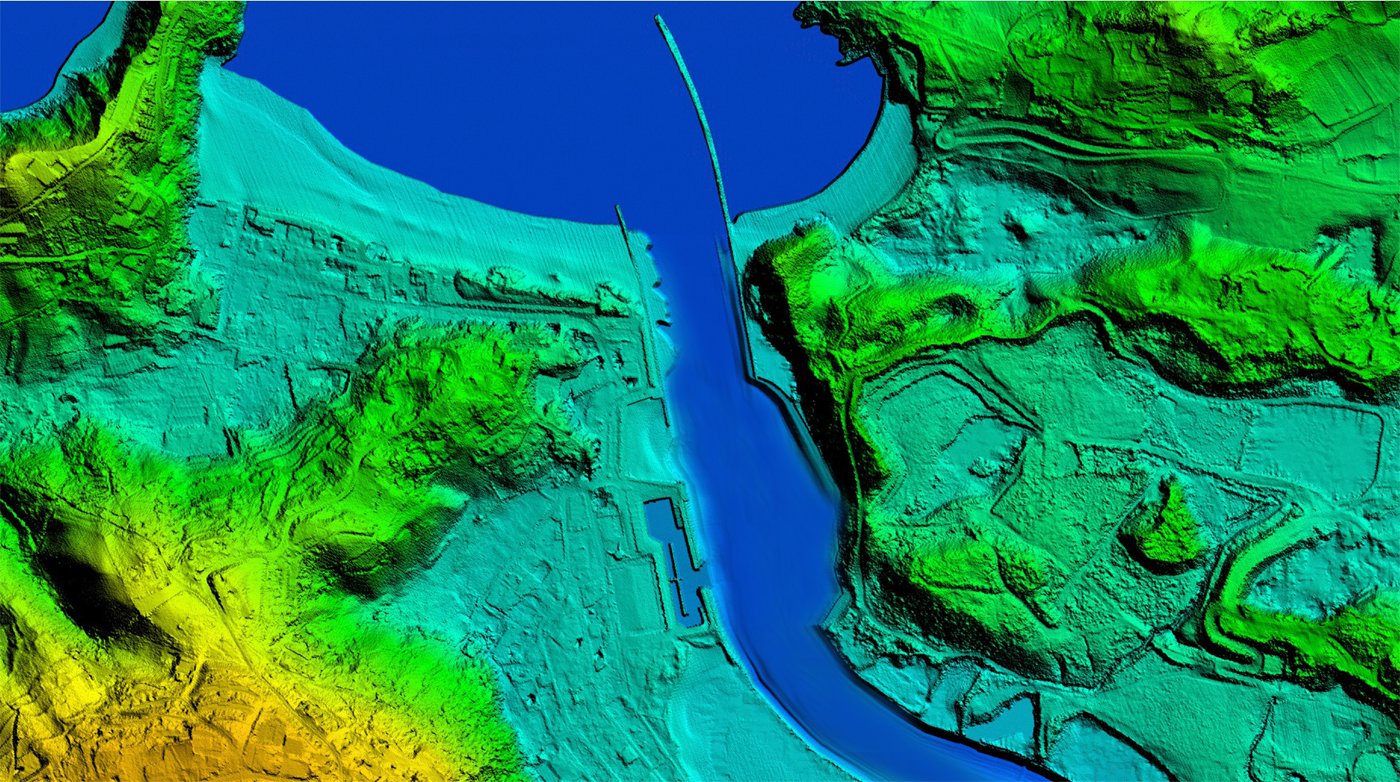
LIGHT DETECTION AND RANGING (LIDAR)
Surveying method that measures distance to a target by illuminating that target with a pulsed laser light, and measuring the reflected pulses with a sensor.
Who We Are
about who we are

We are professional company focusing on land surveying and mapping services.
What We Do
about what we do
- Survey of Land for Bulding, Agriculture, Mining and etc..
- Survey for Sub-Division of Land (Landed Properties) and Building (Strata)
- Underground Survey (Stratum)
- Survey for Administrative Boundaries
- Point Positioning by GPS (Global Positioning System)
Recent Our Clients
about our clients
-

Jabatan Ukur Dan Pemetaan Malaysia
-

Institut Tanah Dan Ukur Negara
-

Perumahan Penjawat Awam 1 Malaysia
© 2022 MK Survey Sdn Bhd. All rights reserved. | Design:
Ayie's